Center for Ocean Mapping and Innovative Technologies
Providing NOAA with a world-class mapping center to develop unique technologies to map, identify, and respond to a variety of threats in the world’s ocean and coastal zones.

Latest News
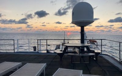
LIFE at sea
We are in a self-contained vessel and all around us is the greatest source of life on Earth — the balancing force of weather and what makes our planet livable — our Oceans. However, this situation is actually a great paradox.
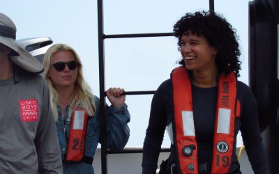
Unforgettable Times aboard the NOAA ship, Nancy Foster
Dr. Nancy Foster was a pioneer and visionary for NOAA for many years. Her efforts to increase diversity and represent the marine science community were impactful and continue to be recognized for their importance throughout the years.
Hydrography: The Ship, The Storm, and the Grad Student
My thesis focuses on sound speed and sound speed inversions, which means I spend a lot of time on computers, but I love to get out on boats whenever possible! As such this was not my first research cruise, but it was my first time working with NOAA aboard the Nancy Foster.
What we do
The intended benefits of COMIT will serve a diverse community of constituencies by developing, testing and implementing better, cheaper, and faster approaches to ocean and coastal mapping.
Click on the icons below to learn more.
Uncrewed Systems
Improving the efficiency of seafloor mapping efforts via advanced technology and processing algorithms.
Geodetic Observations
Developing tools for high precision measurements of the seafloor in coastal zones.
Applied Hydrography
Increasing capacity to rapidly respond to coastal impacts and changes.
Forecasting and Remote Sensing
Resolving complexity of spatial and temporal scales for hydrodynamic modeling in nearshore environments.
Professional Development
Capacity building through training modules, certificate programs, graduate coursework, and seminars.
Outreach
Community engagement via user-ready content and products for the general public and elementary to high school-aged students.