Ocean Exploration
ArcGIS Storymaps
Below are links to a handful of great StoryMaps from USF, NOAA, Oceana, and others.
Continental Shelf Characterization, Assessment, and Mapping Project
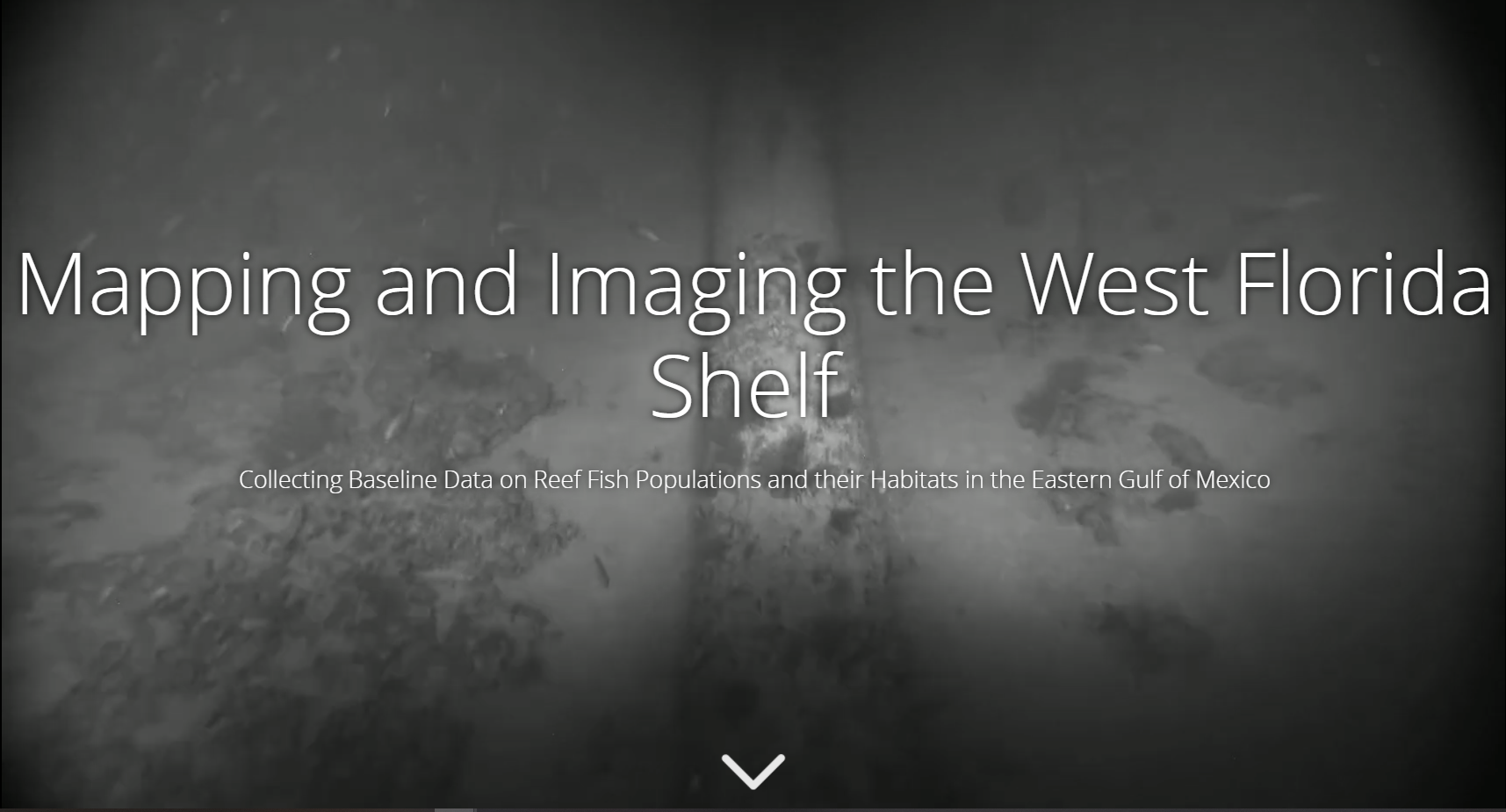
USF-CMS’s Seafloor Mapping and Imaging Project, 2015-2020
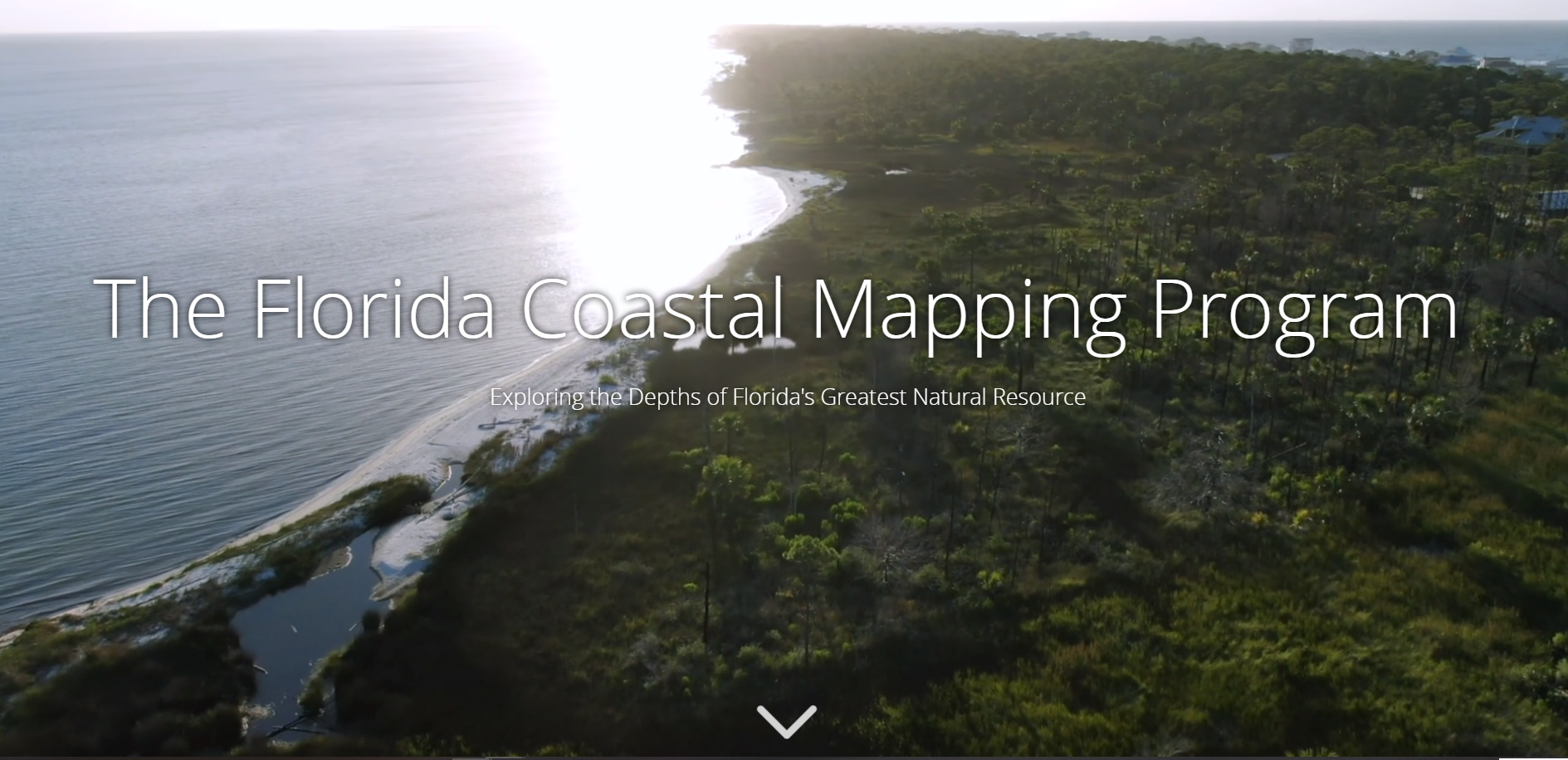
Florida Coastal Mapping Program (FCMaP)
Federal & State initiative to facilitate mapping Florida’s coastal waters by 2028.
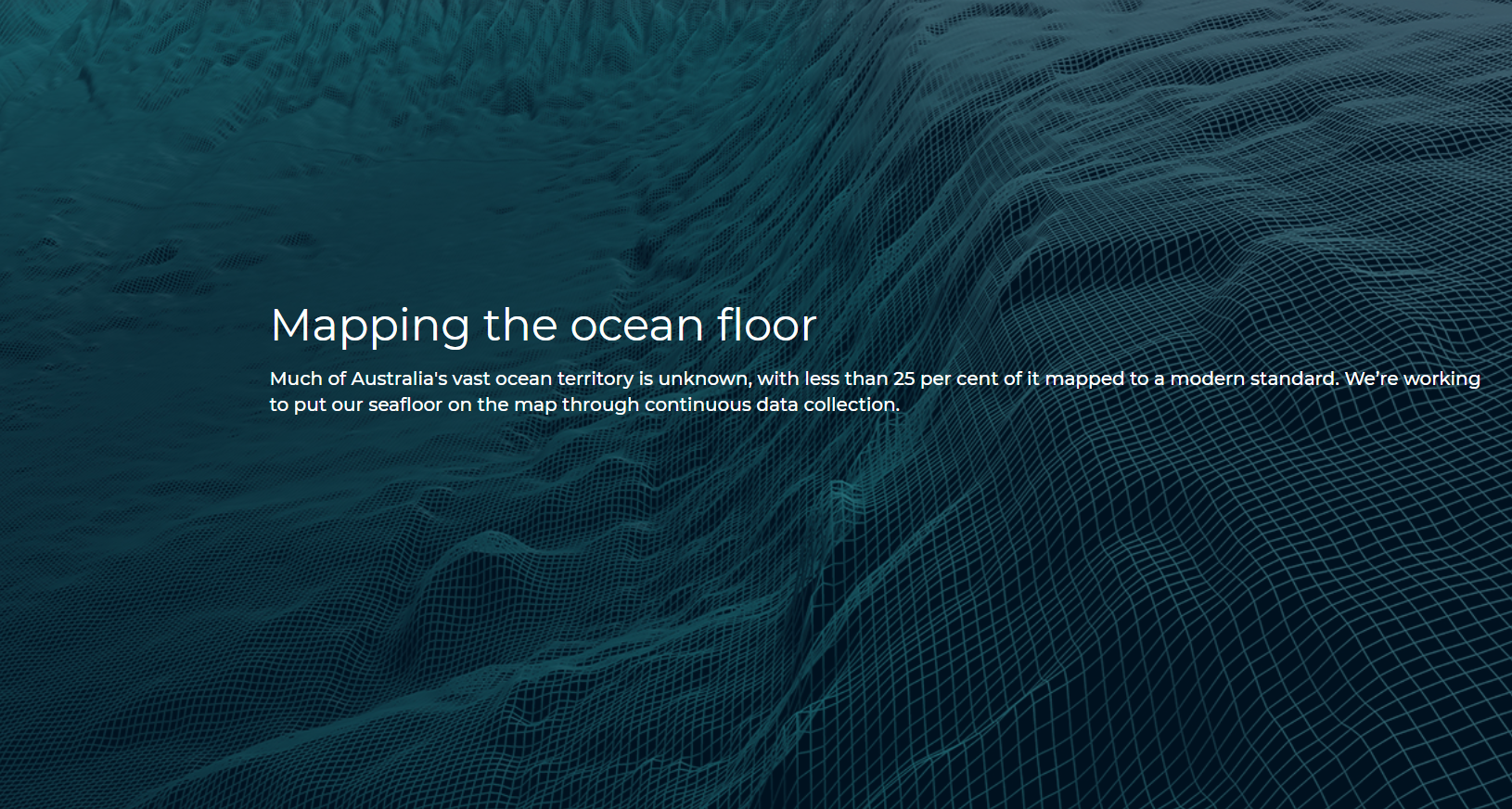
Mapping the ocean floor
From Australia’s Commonwealth Scientific and Industrial Research Organization (CSIRO)
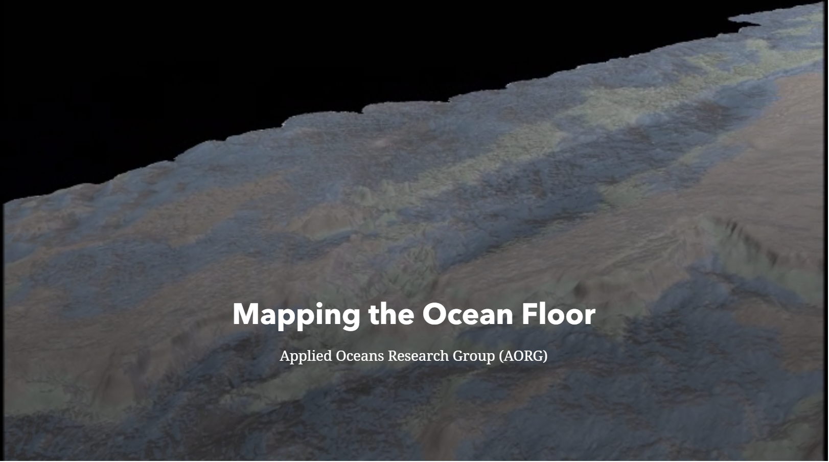
Mapping the Ocean Floor
Applied Oceans Research Group (AORG) at Nova Scotia Community College
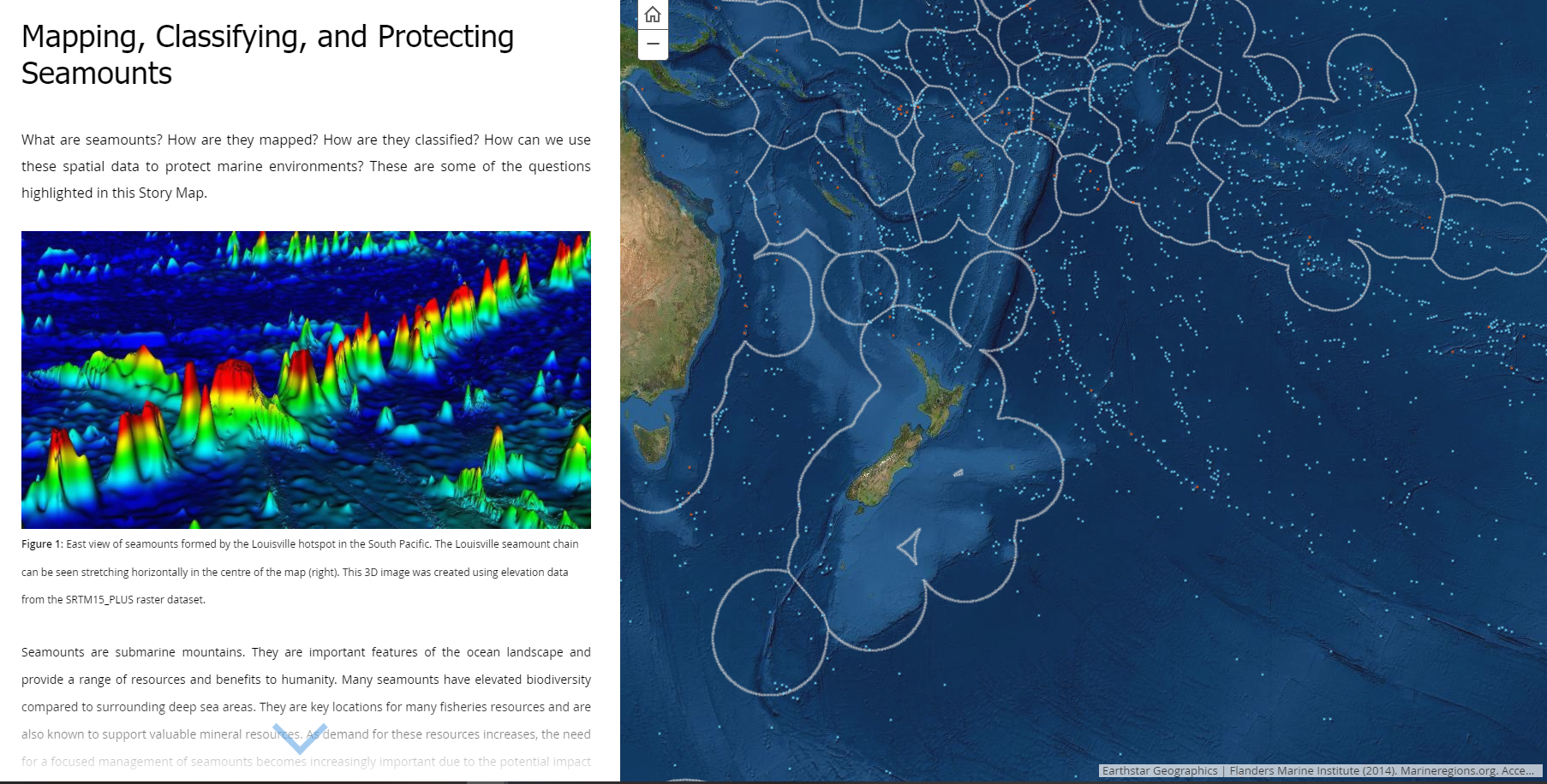
Mapping, Classifying, and Protecting Seamounts
From GRID-Arendal, a non-profit environmental communications center in Norway.
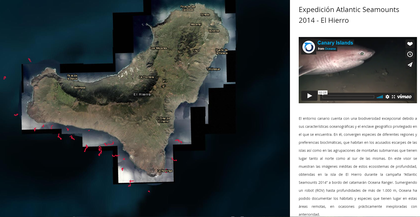
Expadición Atlantic Seamounts
2014 Expedition to El Hierro, part of the Canary Islands.
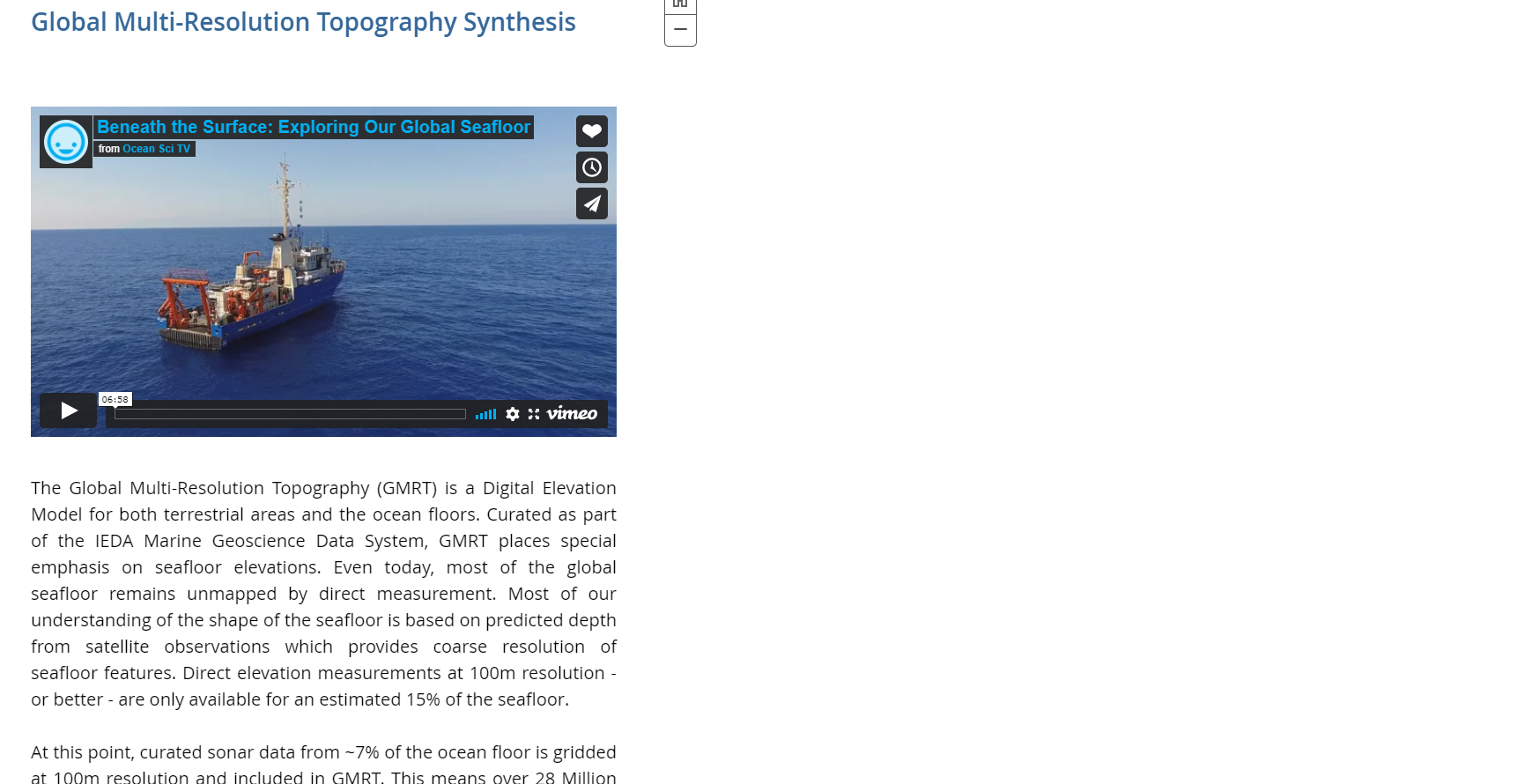
Global Multi-Resolution Topography Synthesis
Digital Elevation Model (DEM) produced by the Interdiciplinary Earth Data Alliance (IEDA) Marine Geoscience Data System
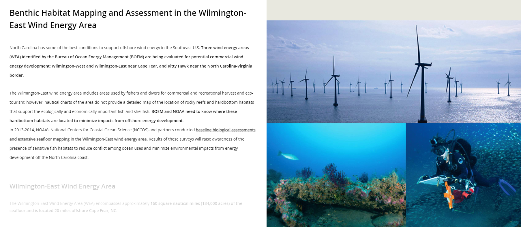
Wilmington-East Wind Energy Area
Benthic Habitat Mapping and Assessment in offshore areas of North Carolina used by fishermen and divers.