Themes and Activities
Development of a Coastal Network
Development of a Coastal Network highlights education via formal academic scholarship, instruction and matriculation, internships, hosting various training modules and facilitating hands-on learning opportunities. This COMIT program focus area also encompasses the development of outreach, media and data products utilized by a wide range of stakeholders.
COMIT works to operationalize cutting-edge approaches to seafloor mapping and improve response capacity to coastal hazards, however much of the work that we do would not be possible without the consistent support from and collaboration with federal, state, and local organizations, private individuals, and local businesses. It is through this ever-expanding coastal network that we are able to grow our projects to best suit citizens’ most pressing needs, as well as share our knowledge and skills to assist in training the next generation of hydrographers and mappers.
Some of the current projects related to this theme are summarized below:

Dr. Steven Murawski and graduate student Jill Thompson-Grim at Oceans Day 2024 in Tallahassee, FL
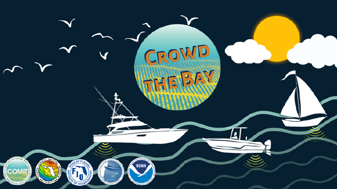
Crowd-Sourced Bathymetry
In 2022, the Crowd-Sourced Bathymetry (CSB) project began with utilizing well-established and longtime community connections of the College of Marine Science to recruit and engage participants for a regional-scale citizen science program collecting bathymetry data in Tampa Bay.
With Phase I: Foundations and Relationship Building (2022 – 2023) and Phase II: Outreach Expansion and Wider Implementation (2023 – 2024) completed, we are now in Phase III: Regional Scale Demonstration. The main objectives are to expand the participant pool, fine-tune protocols, processes, and outreach material based on user feedback, and make available the results and lessons learned from the project.
COMIT’s CSB program is called Crowd the Bay and has its own website where you can learn more and see real-time crowd-sourced data here: Crowd the Bay
Experiential Learning Through Field Opportunities
Nancy Foster Training Cruise
COMIT has supported over a dozen students on the NOAA ship Nancy Foster. Through collaboration with NOAA Coast Survey (OCS), NOAA’s Center of Excellence for Ocean and Great Lake Mapping, and academic partners, undergraduate and graduate students on the Nancy Foster have the opportunity to gain operational skills and proficiency to support the development and long-range mission of hydrography.
Students spend a week aboard the ship, assisting with the collection of water column data, multibeam bathymetry, and acoustic backscatter used to update NOAA’s nautical charting products from priority areas offshore of South Carolina on the Blake Plateau.
Check out our latest video project from July 15-21, 2024 Nancy Foster participants:
Undergraduate Intern Opportunities
COMIT has prioritized recruiting interns at the undergraduate level. USF’s College of Marine Science is solely a graduate program and access to undergraduate talent is largely through COMIT’s relationship with USF’s College of Arts and Sciences and College of Engineering, as well as St. Pete College and Eckerd College.
COMIT undergraduate interns have assisted in the prep, planning and execution of field deployments with the Ocean Circulation Lab, have been instrumental in shore testing the various components of the spar buoy (See: Enhancing Geodetic Observations) and have played a vital role in developing components for our uncrewed surface vessel (USV) TREVOR – Test Robotics Environment Vehicle for Ocean Research. We received additional funding from the Florida High Tech Corridor and the Hydrographic Society of America and have employed more interns to lend their talents to a variety of projects including: developing ArcGIS StoryMaps, processing bathymetry data, engineering further USV parts for TREVOR, creating visual SOPs for marine research cruises and more.
Our undergraduate interns have participated in various conferences and meetings such as the Gulf of Mexico Conference (GOMCON), College of Charleston’s BEAMS Symposium, and COMIT’s own Annual Review with NOAA. COMIT staff have also taken an active role in mentoring interns by delivering professional development modules to enhance the intern experience and expand student knowledge on practical, career-building skills including: giving effective presentations (Module 1: Mini-Presentation Bootcamp), implementing best practices for science communication (Module 2: Science Communication) and tips and tricks for tying it all together (Module 3: Professional Writing, Soft Skills, Grad School and Career Pathways).
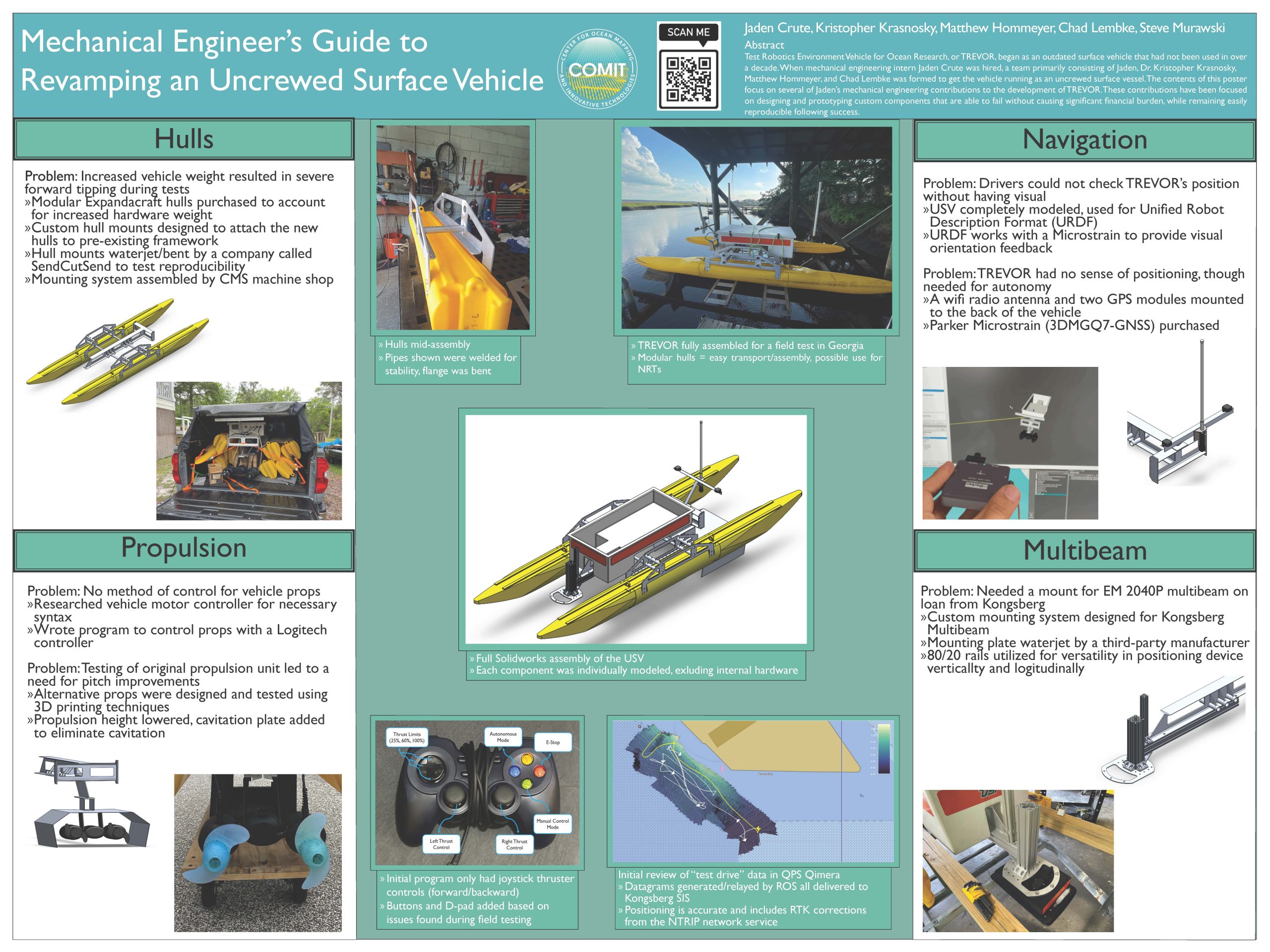
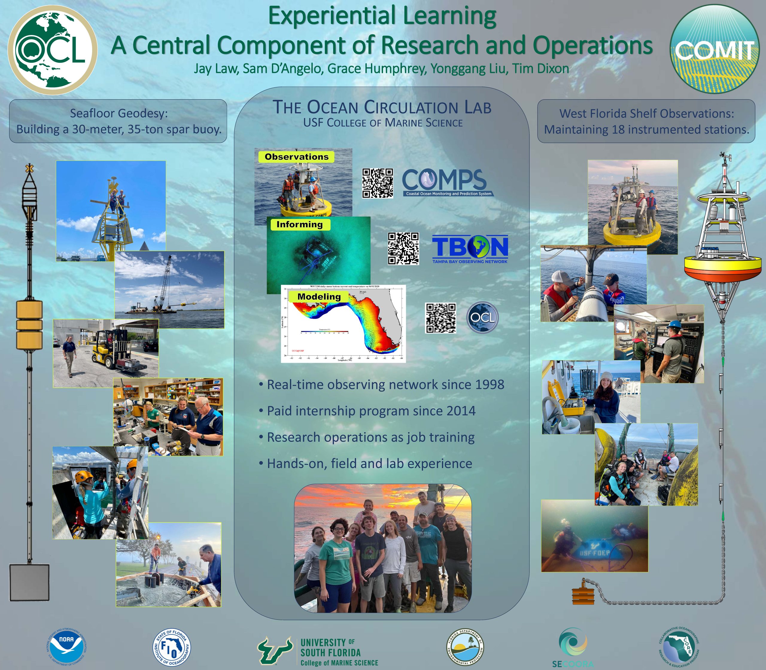
Click on the student posters below to learn more about the internship experience:
Formal Academic Scholarship, Instruction and Matriculation
COMIT continues to support and recruit graduate students at the USF College of Marine Science at both the M.S. and PhD levels. With three new master’s students enrolled in the 2024-25 academic year. COMIT currently advises, mentors, funds, and invites research opportunities to seven master’s students and four PhD students.
Started in October 2022, COMIT implements a Marine Geophysical Tools course for the Hydrography concentration requirement at USF CMS. This course instructs students on the application of various sounding tools to gain information on how different tools are used for different applications and includes a 4-day research cruise off the West Florida Shelf. Students gain skill development as the next generation of marine scientists and hydrographers and makes them more employable in the emerging Blue Economy sector.
Delivered by USF’s Muma College of Business with additional course requirements through USF’s College of Marine Science, COMIT took part in establishing the Blue MBA concentration. This concentration prepares students for a growing career in a variety of marine related industries including marine tourism, energy, aquaculture, and shipping and port sustainability.
Outreach and Media Products
Newsletter – Mapping Matters
COMIT releases a quarterly newsletter summarizing our research projects and highlighting student and staff accomplishments. Check them out here: https://www.marine.usf.edu/comit/newsletters/
Podcast – Deep Soundings
This three-part series dives into who we are and what we’re doing, the history of seafloor mapping, and how the global community is working together to map our planet’s seafloor by 2030. Listen here: https://www.marine.usf.edu/comit/podcast/
Social Media – LinkedIn
Our LinkedIn account is the foremost way to stay up-to-date with COMIT happenings. Check out our page and give us a follow! https://www.linkedin.com/company/usfcomit/
Engaging the Local Community
COMIT participates in annual events throughout the Tampa Bay area. Staff and graduate students engage and educate young adults, families, professionals, and state legislators with marine science, mapping, and hydrographical hands-on and interactive talks, displays, and activities. COMIT is proud to participate in such events as:
St. Petersburg Science Festival
Data Products
As COMIT researchers developed software, programming code, sensor drivers and other products, it was necessary to find an easy way to openly share these packages to the broader community. Our Github page contains fully annotated and user-ready packages. The most recent software driver for interfacing with R2Sonic multibeam systems in the open-source ROS (Robot Operating System) environment can be found here: https://usf-comit.github.io/ros2sonic/
For the full library, visit: https://github.com/USF-COMIT/