Center for Ocean Mapping & Innovative Technologies
A NOAA Office of Coast Survey-funded mapping center working to operationalize cutting-edge approaches to seafloor mapping and improving response capacity to coastal hazards.
PROGRAM FOCUS AREAS
Click on the icons below to learn more.
Uncrewed Systems
Improving the efficiency of seafloor mapping efforts via advanced technology and processing algorithms.
Enhancing Geodetic Observations
Developing tools for high precision measurements of the seafloor in coastal zones.
Applied Hydrography
Increasing capacity to rapidly respond to coastal impacts and changes.
Forecasting & Remote Sensing
Resolving complexity of spatial and temporal scales for hydrodynamic modeling in nearshore environments.
Development of a Coastal Network
Capacity building through education and internships, the development of a crowd-sourced bathymetry program, and products and media for a variety of audiences.
News Feed
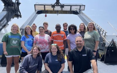
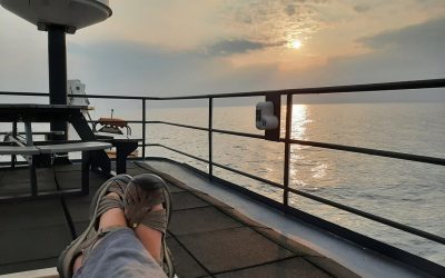
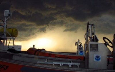
Hydrography: The Ship, The Storm, and the Grad Student
Written by: Steven Paul (MS Student)Hello everyone! My name is Steven Paul and I am about to finish my second year as a Master’s student in Dr. Ali Graham’s lab. A common question I get asked is how someone gets into a field like hydrography. There is no one set way,...
The evolution of a scientist – a reflection on the importance of seizing opportunities
Written by: Kristin Erickson (FL Coastal Mapping Program [FCMaP] Coordinator) Successful research scientists work hard to obtain a well-rounded education, taking years of time (and often money!) to earn their undergraduate and graduate degrees. But I believe...
Setting Sail into the World of Ocean Mapping and Hydrography
Written by: Grace Humphrey (Intern and Undergraduate Student) Hi everyone! My name is Grace Humphrey and I am an Undergraduate student at the University of South Florida (USF). I also work as an intern at USF College of Marine Science’s Ocean Circulation Lab (OCL)....