COMIT
  • About Us
    • Mission
    • Our Team
      • Faculty & Staff
      • Students
      • Interns
    • History
      • Seafloor Mapping
      • About FCMaP
    • Publications
    • Annual Reports
      • Year 1 (2020-21)
      • Year 2 (2021-22)
      • Year 3 (2022-23)
    • Location
  • Projects
    • Uncrewed Systems
    • Enhancing Geodetic Observations
    • Applied Hydrography
      • Backscatter Calibration Site
    • Forecasting & Remote Sensing
      • Bathymetry in Models
    • Development of a Coastal Network
  • News
    • Web Articles
    • Newsletters
    • Webinars
      • 2021 Webinars
      • 2022 Webinars
  • Podcast
  • Contact Us
Select Page

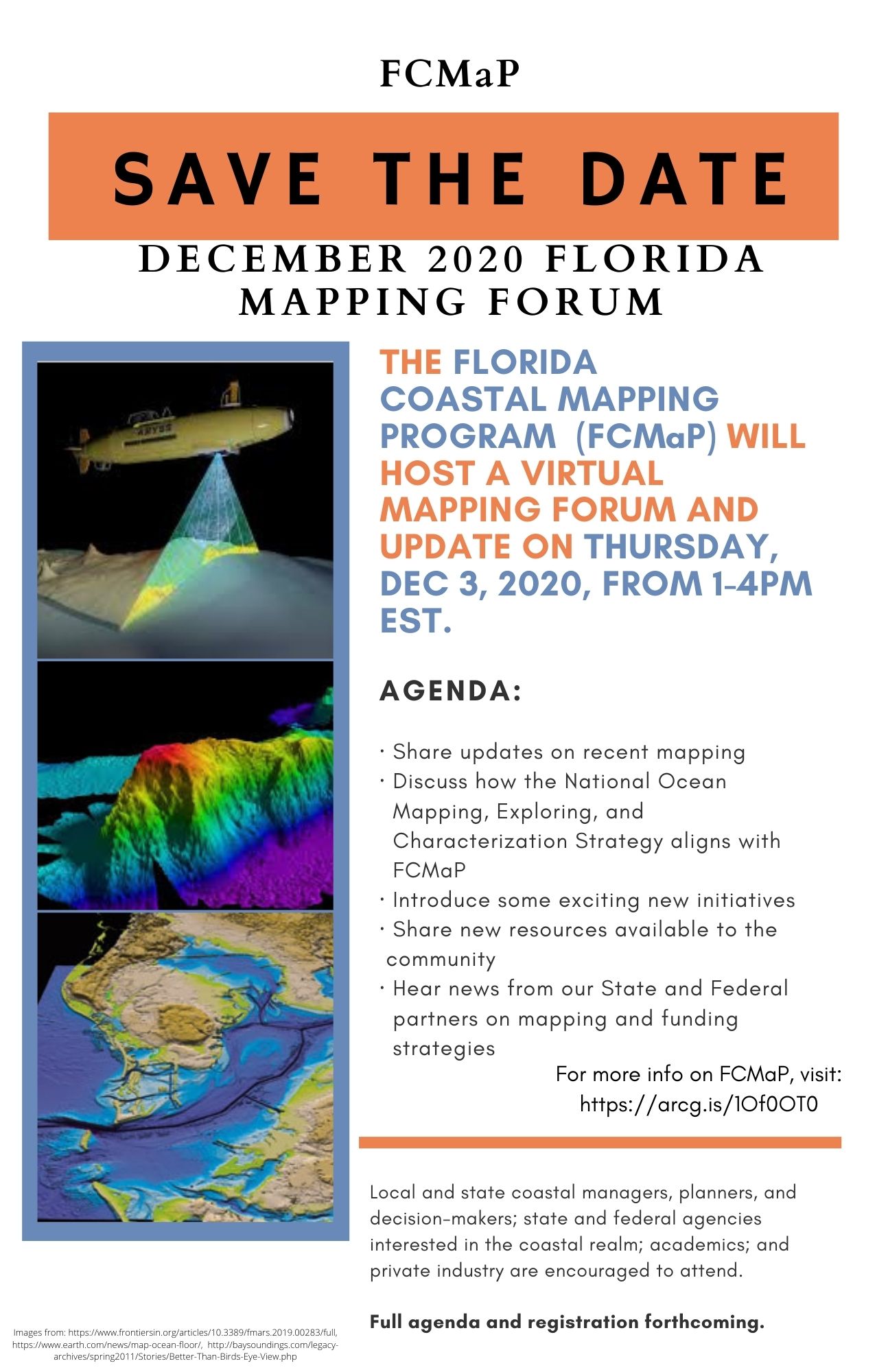
Save the Date – FL Coastal Mapping Project Forum

by Sarah Grasty | Oct 23, 2020 | News

Join FCMaP for their upcoming December meeting to discuss all things related to Florida’s efforts to align with Seabed 2030 for its state and federal waters. Check back for a full agenda and registration information. The Florida Coastal Mapping Project was co-founded by one of COMIT’s own PI’s, Dr. Cheryl Hapke.
coastalmapping | comit | multibeam | noaa | oceanmapping | research | seabed2030

Recent Posts

  • A Week Aboard the NOAA Ship Nancy Foster: A Student’s Journey
  • Stella and Sam: a pair of gliders on a mission
  • Putting robots in the water: the trials and tribulations of marine engineering
  • Forging a road through interdisciplinary applications of hydrography
  • LIFE at sea

Recent Comments