Written by: Marie Meranda (PhD Candidate)
As I step foot on board the Nancy Foster, it’s hard to believe I’m here. As we go around the lab making introductions, most people are in a field related to seafloor mapping, benthic habitats, geology, and sonar engineering. Once again, I am surrounded by marine scientists. As an archeologist I don’t quite fit that mold. So…how does an archaeologist who began their career excavating plantations in coastal Georgia end up on a hydrographic research cruise with NOAA?
I grew up in landlocked TN and went to a state school for my undergraduate degree, which made finding my path to maritime research a bit of a long one. My interests spanned science, art, history, and languages and excitingly, I ended up where all of these interests merge – Anthropology. The study of humans. As an archaeologist I utilize scientific methods in order to answer questions about the past. During excavations, we map (draw) in the units we have dug with a grid and high level of precision to show where artifacts are present, much like a crime scene. These drawings help us understand artifact density and recognize patterns and soil changes (or what we call features) to understand what used to be there. Even slight changes in the soil color can indicate something like the presence of a posthole for a building. We take pictures as well, but the hands-on approach to drawing and the high level of detail it offers often provides a better understanding of what the site was.
Underwater, we’re investigating everything from shipwrecks to paleo landscape features (e.g., shell middens which are essentially the waste piles from prehistoric and indigenous peoples) to submerged towns. The mapping process when studying these sites is almost the exact same as what marine biologists and ecologists do to map marine habitats. The field of archaeology often borrows techniques developed by neighboring science fields such as geology, sedimentology, geographic information science (GIS) and hydrography to answer questions about human history.
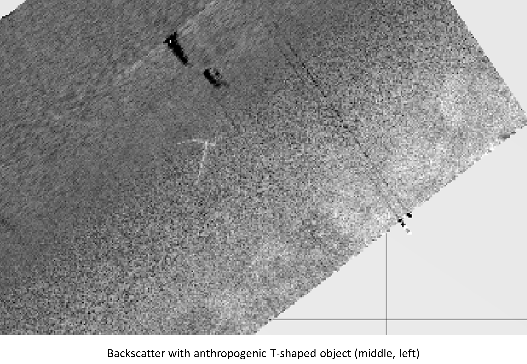
But back to the Foster! The mission for this excursion is to map Blake’s Plateau, an area in the Atlantic off South Carolina with loads of interesting features. The maps we’re collecting aren’t only important to update navigation charts, but this area is of potential future interest for researchers and contractors alike for mineral extraction. Because of this, NOAA has gone ahead and started a multi-year project to map it using multibeam sonar. By allowing students to be a part of the project, it doubles as a learning opportunity for upcoming scientists in the field. There is quite a bit of a learning curve for me since I don’t have a hard science background, but through self-teaching and patient instructors, I have been able to keep up. Although the topography has been relatively flat during our week of mapping, we did find a human-made t-shaped object. Desperately hoping for it to be a shipwreck, it’s most likely some piping that’s become exposed or part of a decommissioned rig. Nevertheless, it was exciting to see an anthropogenic object in our study area, showing the overlap in our fields of study.
During my week on the Nancy Foster, I have gotten to know the other students and discuss different research interests and projects. Our science team leaders, Howie and Mike offer great support, assist in problem solving and provide in-depth lessons on both how the software and equipment works.
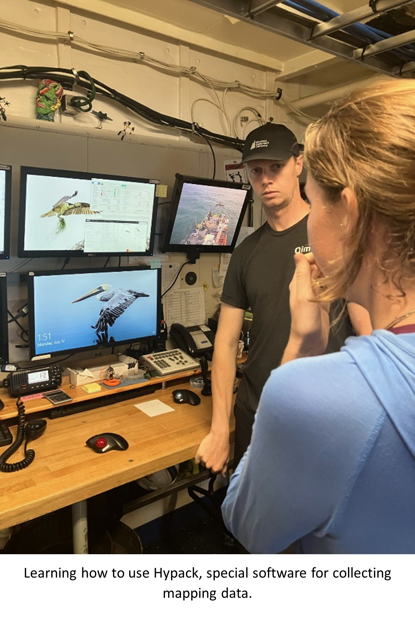
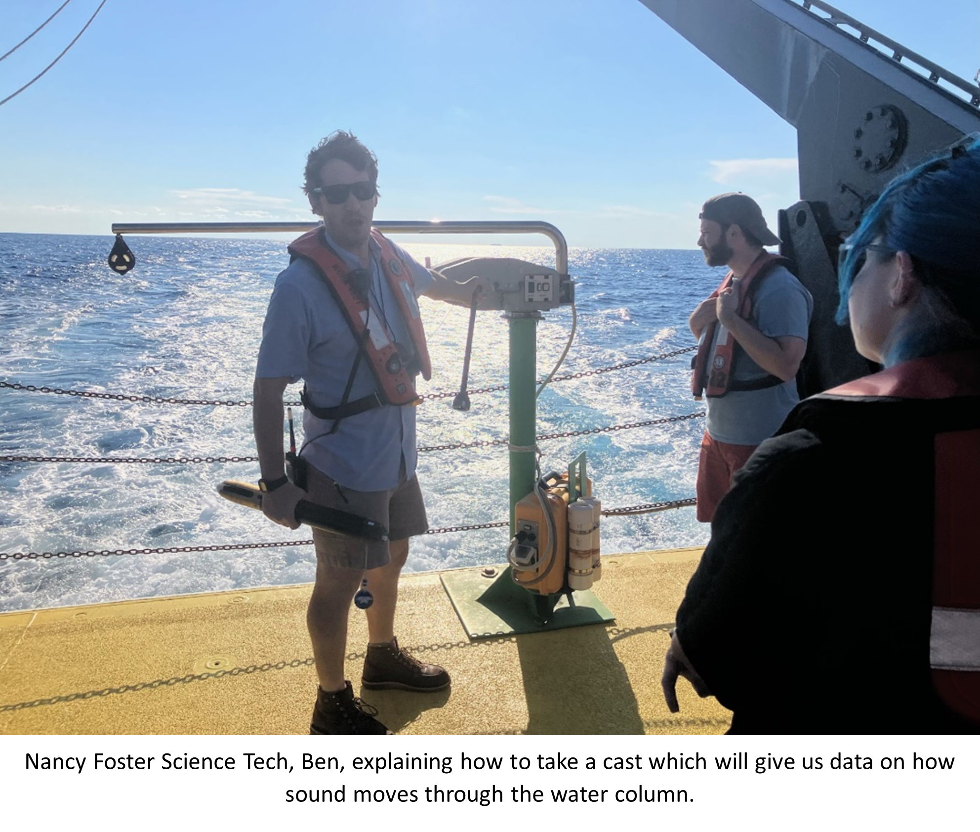
The hands-on approach during our time surveying Blake’s Plateau affords the opportunity to learn the skills necessary to carry out multibeam surveys from setting up the sensors, casting the CTDs, collecting, processing and cleaning the data. The Foster’s science technician team, Ben and Sam, are patient with questions to help us understand the intricacies of the survey processes conducted by NOAA.
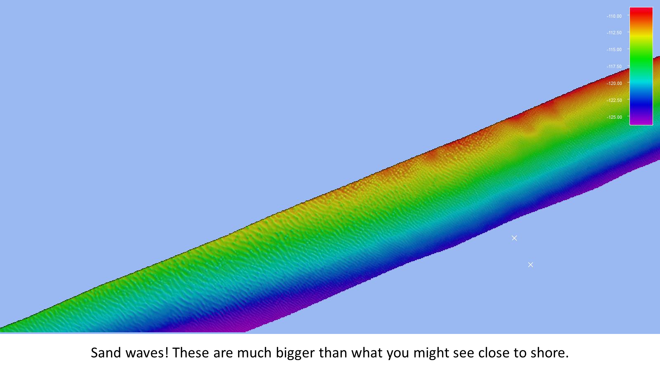
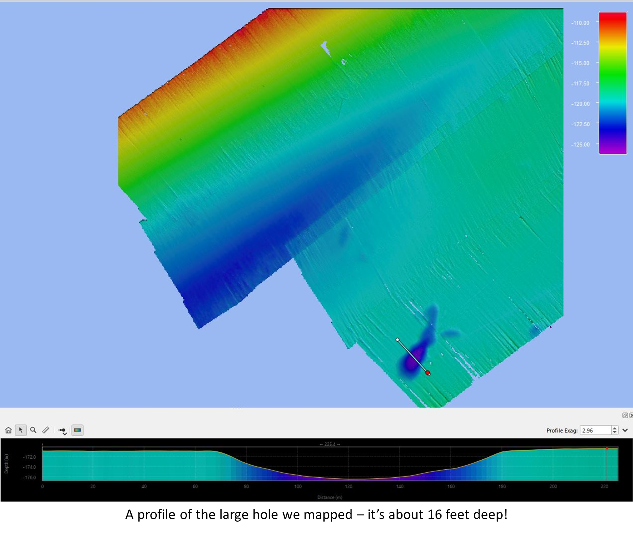
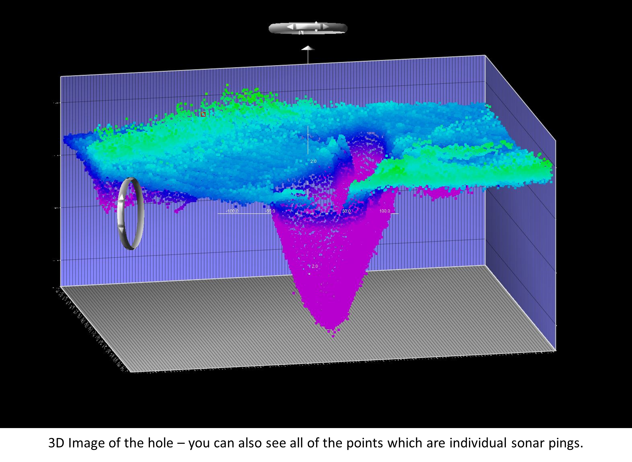
Although our research area was relatively flat, we did find some neat sand waves and a big hole which you can see in the images below.
My big takeaway from this opportunity is that there is room for all kinds of research in marine science and its never too late to get involved in research. If you seek it out, there are many opportunities with NOAA and other science units to learn new skills or build upon one you already possess. I have learned a lot in just one week on the Foster and I can’t wait to see where my future studies and involvement with the COMIT research group will take me.
Recent Comments