Center for Ocean Mapping & Innovative Technologies
A NOAA Office of Coast Survey-funded mapping center working to operationalize cutting-edge approaches to seafloor mapping and improving response capacity to coastal hazards.
PROGRAM FOCUS AREAS
Click on the icons below to learn more.
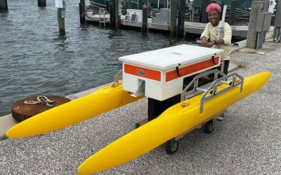
Uncrewed Systems
Improving the efficiency of seafloor mapping efforts via advanced technology and processing algorithms.
Enhancing Geodetic Observations
Developing tools for high precision measurements of the seafloor in coastal zones.
Applied Hydrography
Increasing capacity to rapidly respond to coastal impacts and changes.
Forecasting & Remote Sensing
Resolving complexity of spatial and temporal scales for hydrodynamic modeling in nearshore environments.
Development of a Coastal Network
Capacity building through education and internships, the development of a crowd-sourced bathymetry program, and products and media for a variety of audiences.
News Feed
Putting robots in the water: the trials and tribulations of marine engineering
Written by: Jaden Crute (B.S. Engineering Student)Marine engineering isn’t typically something you would think of when imagining an engineer's potential career path. Despite this, it makes a lot of sense that the fields of marine science and engineering overlap. I...
Forging a road through interdisciplinary applications of hydrography
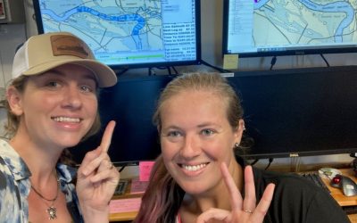
Written by: Marie Meranda (PhD Candidate)As I step foot on board the Nancy Foster, it’s hard to believe I’m here. As we go around the lab making introductions, most people are in a field related to seafloor mapping, benthic habitats, geology, and sonar engineering....
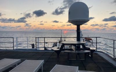
LIFE at sea
Written by: Bea Combs-HintzeWe are in a self-contained vessel and all around us is the greatest source of life on Earth — the balancing force of weather and what makes our planet livable — our Oceans. However, this situation is actually a great paradox. Survival...