COMIT
  • About Us
    • Mission
    • Our Team
      • Faculty & Staff
      • Students
      • Interns
    • History
      • Seafloor Mapping
      • About FCMaP
    • Publications
    • Annual Reports
      • Year 1 (2020-21)
      • Year 2 (2021-22)
      • Year 3 (2022-23)
    • Location
  • Projects
    • Uncrewed Systems
    • Enhancing Geodetic Observations
    • Applied Hydrography
      • Backscatter Calibration Site
    • Forecasting & Remote Sensing
      • Bathymetry in Models
    • Development of a Coastal Network
  • News
    • Web Articles
    • Newsletters
    • Webinars
      • 2021 Webinars
      • 2022 Webinars
  • Podcast
  • Contact Us
Select Page
COMIT Seminar Announcement! Dr. Shachak Pe’eri from NOAA Coast Survey Development Lab

COMIT Seminar Announcement! Dr. Shachak Pe’eri from NOAA Coast Survey Development Lab

by Sarah Grasty | Feb 26, 2021 | News

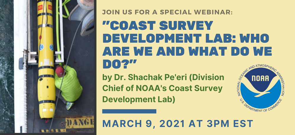
The Center for Ocean Mapping and Innovative Technologies is pleased to present its first seminar. Dr. Shachak Pe’eri will be presenting on March 9, 2021 at 3pm EST. Dr. Shachak Pe’eri is the current Division Chief of the Coast Survey Development Lab at NOAA. Dr....

Recent Posts

  • A Week Aboard the NOAA Ship Nancy Foster: A Student’s Journey
  • Stella and Sam: a pair of gliders on a mission
  • Putting robots in the water: the trials and tribulations of marine engineering
  • Forging a road through interdisciplinary applications of hydrography
  • LIFE at sea

Recent Comments