Center for Ocean Mapping and Innovative Technologies
Providing NOAA with a world-class mapping center to develop unique technologies to map, identify, and respond to a variety of threats in the world’s ocean and coastal zones.

Latest News
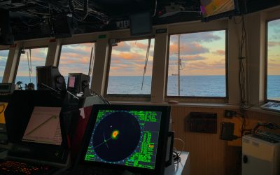
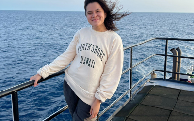
Uncharted Waters: A Biologist’s Dive into Hydrography Aboard the NOAA Ship Nancy Foster
Life aboard Nancy was not without its challenges. Sleeping on a bunk bed like I was back at summer camp, setting my alarm for 3:30 AM to make it to the 4 AM shift on time, and adding Dramamine to my daily vitamins took some getting used to. Showering was a whole other ordeal. Imagine a game of pinball. Really imagine it. Now, imagine the machine is a shower, and you are the ball.
A Dive into the Tech Support Department
The Nancy Foster is one of the most operationally diverse ships in the NOAA fleet. Based out of Charleston, South Carolina, the crew aboard the Nancy Foster was kind enough to offer students from the University of South Florida, the College of Charleston, and the University of New Hampshire the opportunity to sail with them as they conducted mapping operations this summer.
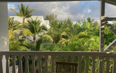
GeoHab 2023, a reflection on my first international conference
I opened up the French doors to the patio, where I was hit with the perfume of plumeria blooming, and heard the strange calls of new birds. I saw lush greenery and volcanic peaks. I felt the presence of something familiar, an ocean. But there was also a distinct newness. I found myself in the Southern Hemisphere autumn, about 10,000 miles from Florida’s spring…
What we do
The intended benefits of COMIT will serve a diverse community of constituencies by developing, testing and implementing better, cheaper, and faster approaches to ocean and coastal mapping.
Click on the icons below to learn more.
Uncrewed Systems
Improving the efficiency of seafloor mapping efforts via advanced technology and processing algorithms.
Geodetic Observations
Developing tools for high precision measurements of the seafloor in coastal zones.
Applied Hydrography
Increasing capacity to rapidly respond to coastal impacts and changes.
Forecasting and Remote Sensing
Resolving complexity of spatial and temporal scales for hydrodynamic modeling in nearshore environments.
Professional Development
Capacity building through training modules, certificate programs, graduate coursework, and seminars.
Outreach
Community engagement via user-ready content and products for the general public and elementary to high school-aged students.