
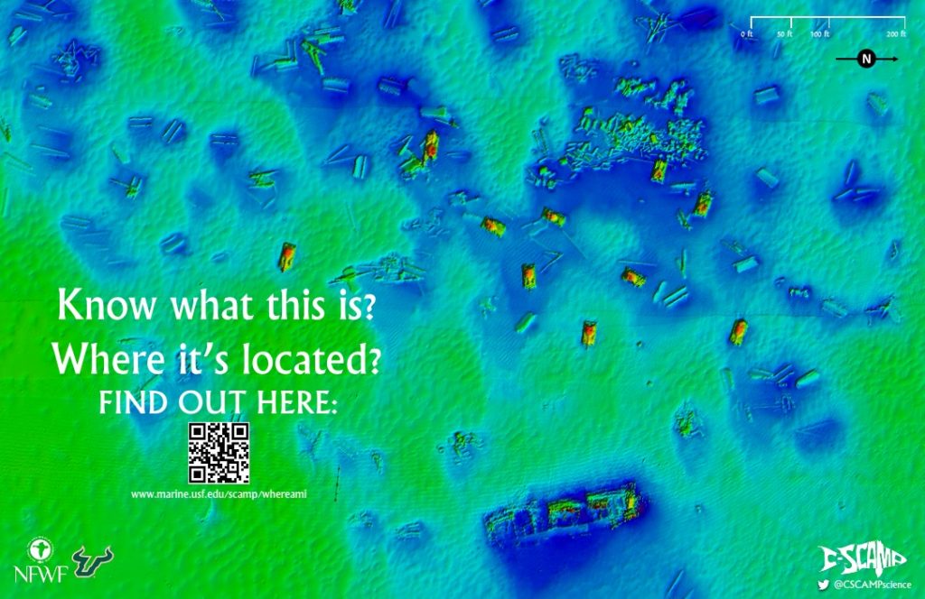
Keep Scrolling to Learn More!
Interested in downloading a georeferenced map of this area? Visit our Data Products Page.
Below the objects in the map have been labeled to show what exactly you’re looking at! There are a total of 10 Army Tanks, one 200-foot barge, and scattered bridge materials from the Old Corey Causeway and Skyway Bridge (for more info, see here).
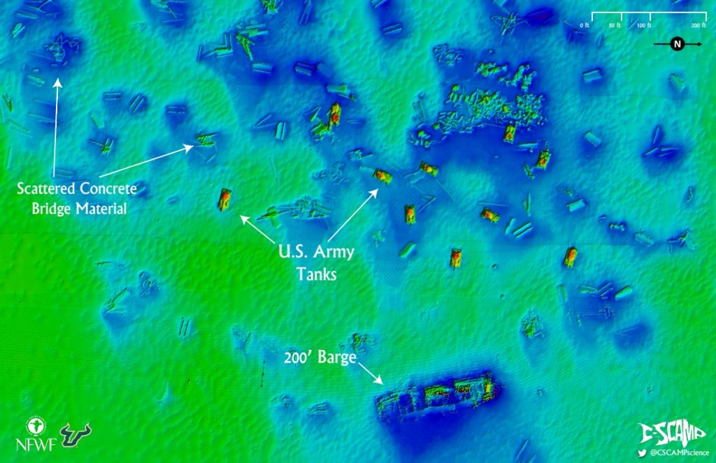
The mapped area encompasses approximately 0.08 mi2 (48 acres) and is 10-12 meters deep (30-36 feet). The bridge materials were the first pieces to be laid in 1976, followed by the barge in 1984. Finally the tanks were sunk in 1995.
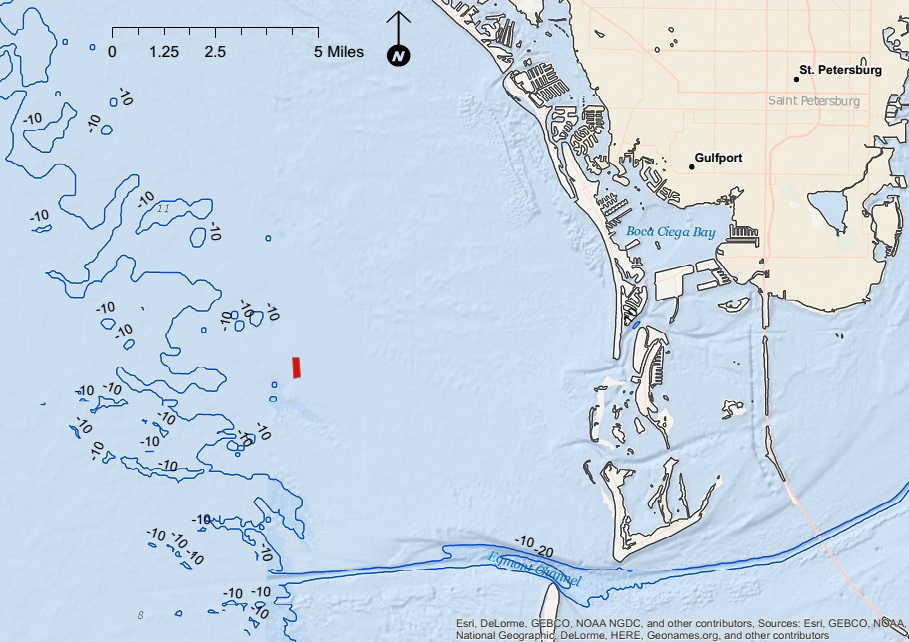
So where is this popular fishing and diving spot located?
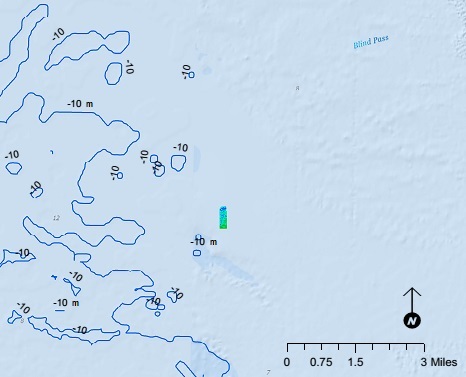
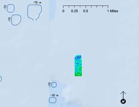
St. Pete Beach Reef is located about 8 miles offshore of the Tampa Bay area. This artificial reef was mapped by C-SCAMP in June of 2016 using ultra-high resolution multibeam sonar. The resulting map is at 0.5-meter (1.5 foot) grid size.
Interested in downloading a georeferenced map of this area? Visit our Data Products Page.
Information on St. Pete Beach Reef was obtained from the Pinellas County Artificial Reef Program.