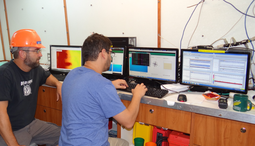
Success of this project truly relies on the integration of many different technologies. The first step is the mapping process to obtain multibeam bathymetry which requires several data streams from the echosounder, GPS, POS MV, and tidal information among others.
When an area is then imaged using C-BASS, necessary equipment includes real-time GPS piped into a GIS displaying multibeam bathymetry, an EK-60 sonar, as well as a live topside feed of the video and sensor streams.