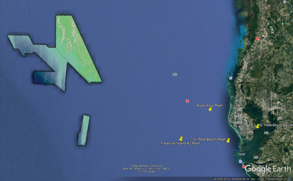
We have files called GeoTIFFs available for download on several of our data product pages. When viewed in Google Earth, you will be able to see highly detailed features on the seafloor like in the image below. And, luckily, it’s not hard to import and view them in the program! Just simply follow our step-by-step instructions here.
The areas for which we have these files for includes several Pinellas County, FL artificial reefs as well as a compilation of everything this project has mapped up until November 2018.